¶ Santorini Airport
The information in this document is not intended for real aviation. It is only intended for computer-based flight simulation.
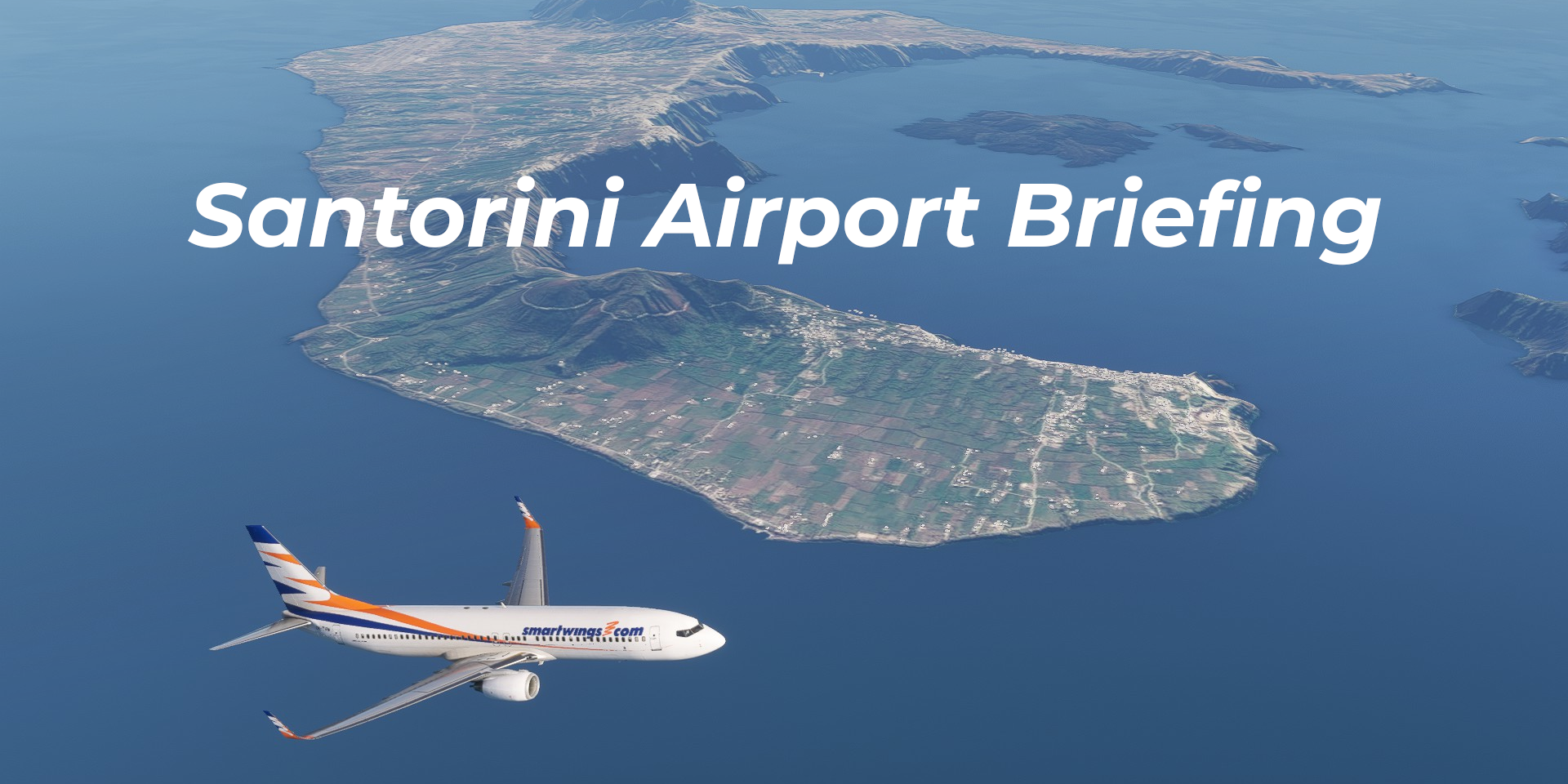
Santorini Airport (LGSR/JTR) is located on the Greek island of Santorini, also known as Thira, in the Aegean Sea. The island is known for its architecture, namely the typical white houses with round blue roofs, and for iconic sunsets. It is a part of an archipelago formed around a volcano crater. The volcanic history of the location also means that there is a tall mountain range near the airport, forming a considerable obstacle especially when approaching runway 33.
This document summarizes essential information you should know for a realistic flight simulator experience.
For more information, please refer to the real-life Aeronautical Information Publication (AIP):
https://aisgr.hasp.gov.gr
¶ Scenery
Recommended LGSR scenery for MSFS:
29PALMS - payware
ezro - freeware - PHOTOGRAMMETRY (RECOMMENDED)
Recommended LGSR scenery for X-Plane:
JustSim - payware
Soltas - freeware
Recommended LGSR scenery for Prepar3D:
JustSim - payware
Giannis Dedes - freeware
Recommended LGSR scenery for FSX:
Giannis Dedes - freeware
¶ Arrival
A tall mountain is located very near the extended runway centerline, and forms a significant obstacle when approaching runway 33. The final approach course for runway 33 is offset by 10 degrees, and requires the pilot to complete the maneuver visually. Do not deviate west of the extended runway centerline. The offset may cause confusion when breaking cloud on final approach.
Circle-to-land approach to RWY 33 using RNP and VOR RWY 15 is not available. Instead, VOR A, VOR B or a visual approach to RWY 33 are used (with VOR A being the most common procedure). As with other airports in Greece, it is usual to switch to visual approach once the runway is in sight.
Be prepared that it may be quite windy near the airport – especially westerly winds can cause considerable turbulence.
The runway is 2197 meters long, and only 30 meters wide. RWY 15 threshold is displaced by about 70 meters.
In 2021, a new terminal was opened, and the apron layout was changed: nose-in stands with pushback procedures were introduced. Older sceneries may not reflect these changes. In real life, parking at LGSR is only done with the help of marshallers, no docking system is installed.
Taxiway A previously used to be a runway, and until recently was also marked and lit as a runway. Keep this in mind when using older sceneries in your simulator.
Taxiing must be carried out using only the minimum possible thrust and at low speed.
After arrival to Santorini, the transponder is switched off after the aircraft is fully parked. Mode S based ground surveillance system is used here.
¶ Departure
If the winds blow so that the aircraft were to start its engines in a tailwind greater than 15 knots after pushback, the pilot may request engine start-up on the parking position (before pushback). Also, in real life, ATC may ask for an engine start-up on the parking position to expedite the flow of traffic. Otherwise, engine start-up is delayed until after crossing the service road behind the aircraft stands (parallel to TWY K), or once the aircraft is aligned on TWY K or A.
At Santorini, the transponder is switched on before the first movement of the aircraft. Mode S based ground surveillance system is used here.
When flying online, remember to request pushback or taxi clearance only if the maneuver can be performed immediately. Apron and taxiway space at LGSR is limited. Only one aircraft may be pushing back at a given time.
Taxiing must be carried out using only the minimum possible thrust and at low speed.
After departure from runway 15, a left turn of about 10 degrees is needed to ensure separation from the terrain.
Departure from runway 33 towards NETIS offers a scenic view of the island archipelago from the left side of the aircraft, with a left turn shortly after departure. Moreover, all northbound departures from runway 15 include a DME arc, also offering some good screenshot and photography opportunities.